United States
Tennessee Trails
Browse 2,367 named hiking and mountain biking trails across Tennessee, with maps, distances, and elevation profiles.

About trails in Tennessee
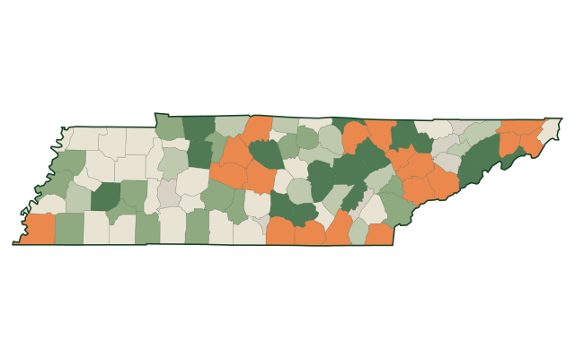
Tennessee has 2,367 named trails mapped across 89 counties, covering 5,474 miles in total, an average of 2.3 miles per trail. 1,972 of them are tagged for hiking and 731 for mountain biking.
The largest networks are Knox County (243 trails), Hamilton County (230 trails), and Fentress County (117 trails). The longest single trail in the state is bicycle in Monroe County, at 68.4 miles. Across Tennessee the map also carries 248 trailheads, 1,146 campsites, 497 waterfalls, 1,388 boat launches, and 95 rapids.
Explore by activity
Top trails in Tennessee
Browse by county
Trails by town
Take Tennessee with you
The whole state downloads to your phone — trails, terrain, labels and public land. Packs never expire, there is no cap, and it costs nothing.
Trail geometry from OpenStreetMap contributors, licensed ODbL. Elevation from the USGS 3D Elevation Program. Compiled and published by Trailmonger · trail data last rebuilt .