Press Kit
Everything on this page is free to use in coverage of Trailmonger. If you need something that is not here — a specific screenshot, a figure cut a particular way, or a comment — email support@trailmonger.com and we will get back to you.
Boilerplate
One line. Trailmonger is an offline adventure-mapping app — one app for hikers, hunters, anglers, paddlers, mountain bikers, runners and off-roaders.
Short. Trailmonger is an adventure mapping app for iPhone, Android and the web. It downloads vector map data rather than cached images, so panning somewhere new still works with no signal — the case most mapping apps fail. It covers 166,108 named trails across the United States, with elevation profiles, weather overlays, public-land and property boundaries, and route planning.
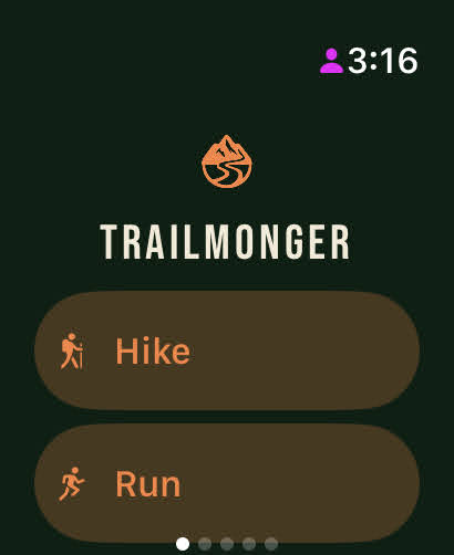
Longer. Trailmonger is an offline-first mapping app built for people who go where coverage stops. Most apps cache pictures of the map you already looked at; Trailmonger downloads the underlying vector data, so the map still works — searchable, zoomable, routable — when you pan somewhere you have never been with no signal. It is assembled from open data: trail geometry from OpenStreetMap, elevation from the USGS 3D Elevation Program, hydrography, public land boundaries, and marine bathymetry, published as a single map covering 166,108 named trails and 403,290 miles nationwide. It runs on iPhone, iPad, Android and in the browser, with an Apple Watch companion.
By the numbers
These figures come straight from the live map data and change whenever it is rebuilt. They were last recomputed on 2026-10-04. Source: Trailmonger’s trail database, built from OpenStreetMap (ODbL).
- 166,108 named trails mapped
- 403,290 miles of trail
- 2,130 counties with published trail coverage, across 51 states and territories
The full breakdown by state and by county is free to download from our open data page, under a licence that permits republication with credit.
Facts
- Platforms: iPhone, iPad, Android, and any modern browser. An Apple Watch companion app records activity from the wrist.
- Price: free to download. Offline maps and the safety features are free; a paid tier adds property parcels and premium map layers.
- Data: built on open data — OpenStreetMap, USGS 3DEP elevation and 3DHP hydrography, NOAA bathymetry and tides, and federal and state public-land boundaries. Full credits are on the data credits page.
- Android: Google Play. iOS: App Store.
- Contact: support@trailmonger.com
Logos and app icons
Free to use when writing about Trailmonger. Please do not stretch, recolour or add effects to the wordmark, and leave clear space around it.


Screenshots
Free to use in coverage, with or without a credit line.