Download a state, not a square
Full vector detail offline — trails, terrain, labels and public land. Take the whole country if you want it. Packs never expire and there is no cap.
Find trails near you in all 50 states, 1.5M+ of them mapped, then take the map offline. GPS recording and emergency location sharing are free for everyone. Pro adds land ownership and advanced terrain.

Trail and public-land figures are computed from the live map and republished as open data — see the datasets and their licences.
One map, every season
Choose an activity and the trail types, layers and recording all change to suit it — hunt units and parcels for a hunt, rapids and launches for a paddle, runs and lifts for a ski day. The offline download underneath is the same, and it is free.
The honest part
Offline maps and a way to tell someone where you are shouldn’t sit behind a renewal date. They don’t here. We charge for the data that costs money to license and rebuild — parcels and advanced terrain — and for nothing else.
See the full comparisonFree, for everyone
$0forever
Trailmonger Pro
$19.99a year
or $3.99 monthly · cancel anytime
Full vector detail offline — trails, terrain, labels and public land. Take the whole country if you want it. Packs never expire and there is no cap.
Battery-aware GPS that knows the difference between a paddle and a ski tour. Live elevation, pace and distance, on the phone or the Apple Watch.
SOS, live location with friends or emergency contacts, and cell-coverage maps for every carrier — so you know where the signal stops before you get there.
Trail discovery
Ask in plain words and Trailmonger maps the area you can actually reach by road — not a straight-line circle drawn around you — then ranks the trails inside it. Drive, bike or walk time.
Try Discover
Trailmonger Pro
Parcel boundaries in 45 states, with landowner names in 27, built from state and county open records. Every parcel carries the date it was imported — on the map, in your offline packs, and on a public page.
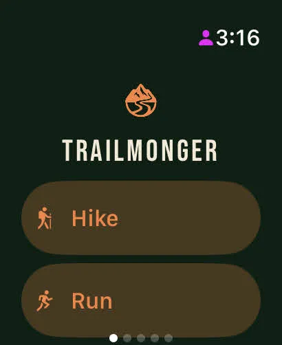
Apple Watch
Start, pause and drop a waypoint without reaching for your phone.
Open the map in your browser, or put all 50 states in your pocket before you lose signal.